Brazil - Rio Grande do Sul - OSM daily latest
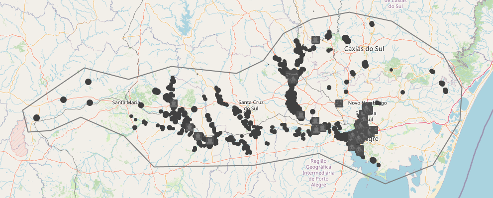
Download point, for the area of Rio Grande do Sul affected by the May 2024 floods, for 16 OSM thematic layers updated daily via imposm from raw data supplied by Geofabrik.
To download the data, see the WFS item "OSM thematic layers for the whole state".
Currently, GEOPACKAGE FORMAT IS NOT FUNCTIONAL (the resulting layers are empty): prefer geojson format to retrieve all field names and convert them to geopackage from QGIS.
Simple
- Date (Publication)
- Presentation form
- Digital map
- Status
- On going
- Point of contact
-
Organisation name Individual name Electronic mail address Role Les Libres Géographes
Séverin Ménard
Custodian
- Maintenance and update frequency
- Daily
- Keywords
-
-
LLg
-
- Place
-
-
Les Libres Géographes
-
OSM
-
OpenStreetMap
-
open data
-
Brazil
-
Rio Grande do Sul
-
floods
-
wikidata=Q125772990
-
-
GEMET
-
-
administration
-
airport
-
agriculture
-
agroforestry
-
waste sorting unit
-
agricultural building
-
agriculture and cattle industry
-
agroindustry
-
energy supply
-
temperate forest
-
surface water
-
agricultural economics
-
thermal power plant
-
agricultural exploitation
-
marsh
-
agricultural landscape
-
abandoned industrial site
-
agricultural management
-
agricultural land
-
administrative jurisdiction
-
tertiary sector
-
territory
-
access road
-
terrestrial area
-
telecommunications
-
-
INSPIRE themes
-
-
Meteorological geographical features
-
Habitats and biotopes
-
Hydrography
-
Geographical names
-
Buildings
-
Production and industrial facilities
-
Geographical grid systems
-
Transport networks
-
Administrative units
-
Utility and governmental services
-
Land cover
-
Agricultural and aquaculture facilities
-
Land use
-
Human health and safety
-
-
Continents, countries, sea regions of the world.
-
- Access constraints
- License
- Use constraints
- License
- Other constraints
-
ODbL License - map data © OpenStreetMap contributors
- Spatial representation type
- Vector
- Denominator
- 5000
- Language
- Français
- Character set
- UTF8
- Topic category
-
- Boundaries
- Farming
- Economy
- Environment
- Health
- Imagery base maps earth cover
- Inland waters
- Location
- Society
- Structure
- Transportation
- Utilities communication
))
- Reference system identifier
- EPSG3857
- Distribution format
-
Name Version gpkg
shp
dxf
json
csv
xls
kml
- OnLine resource
-
Protocol Linkage Name OGC:WFS-1.0.0-http-get-capabilities
https://ifl.francophonelibre.org/llg/OSMdata_BR_RS/wfs?SERVICE=WFS OSM thematic layers for the whole state
- Hierarchy level
- Dataset
Metadata
- File identifier
- 73581113-95b2-46ef-9d2f-abf617a09941 XML
- Metadata language
- Français
- Character set
- UTF8
- Date stamp
- 2024-05-31T00:14:53
- Metadata standard name
-
ISO 19115:2003/19139
- Metadata standard version
-
1.0
- Metadata author
-
Organisation name Individual name Electronic mail address Role Les Libres Géographes
Séverin Ménard
Point of contact
- Other language
-
Language Character encoding Portuguese UTF8 English UTF8 French UTF8
Overviews
Spatial extent
Provided by
